Calculating Website Age & Tracking Changes With URL Dater
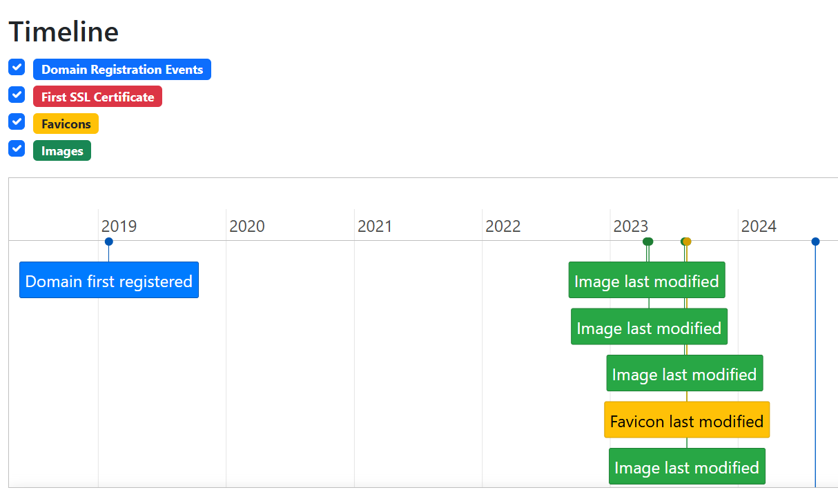
How can you determine the age of a webpage in a reliable way? URL Dater uses a range of different sources to present an accurate picture.
Calculating Website Age & Tracking Changes With URL Dater Read More »