One of the most enjoyable things about the Twitter OSINT community is that someone somewhere will always be aware of a resource or tool that you’d never heard of before. I came across three new resources this week to do with mapping and geolocation investigations that look as though they could be very useful. Here’s a brief summary of what each one does.
1. Mapchecking
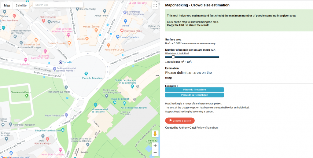
Mapchecking.com is a tool that uses the Google Maps API to calculate how many people could fit inside an area drawn on the map. It’s useful for calculating crowd sizes in any given location. Simply draw the area you’re interested in on the map, estimate roughly how many people are stood in each square metre, and Mapchecking calculates how many people could fit into that area.
H-T @JordanWildon and @Fiete_Stegers
2. Phorio.com
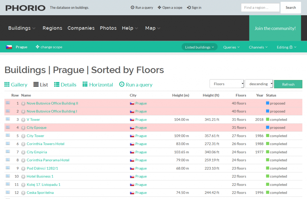
H-T goes to @MCantow for this one. He pointed it out to me after I expressed my frustration at trying to locate a particular building in Google Maps 3D view. Phorio.com contains a wealth of data about buildings and allows you to query buildings by height, location, number of floors, and many other parameters. This example query highlights the tallest buildings in Prague, which would no doubt have made my most recent Quiztime challenge attempt a little bit easier.
3. Five Free Historical Image Resources
H-T @MyOSINTAccount. I suppose this is really five resources rather than one, but they all have a similar function. GisGeography provides an overview of five different satellite image databases that offer an archive function. These are useful in that they allow you to revisit historic satellite and aerial images so you can monitor changes over time. Google Earth’s archive function is already pretty well known, but there are four others featured here:
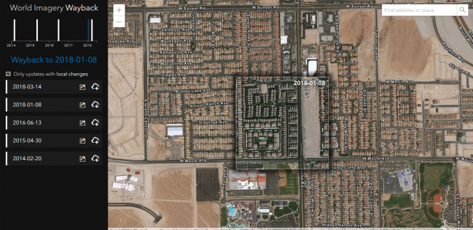
Esri’s Wayback Living Atlas – contains a growing number of historic satellite images and maps:
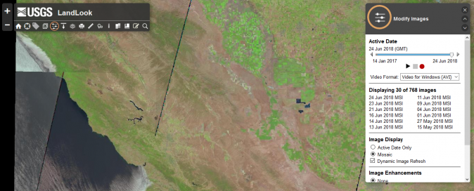
USGS Landlook – contains archived aerial photographs going back as far as 1999:
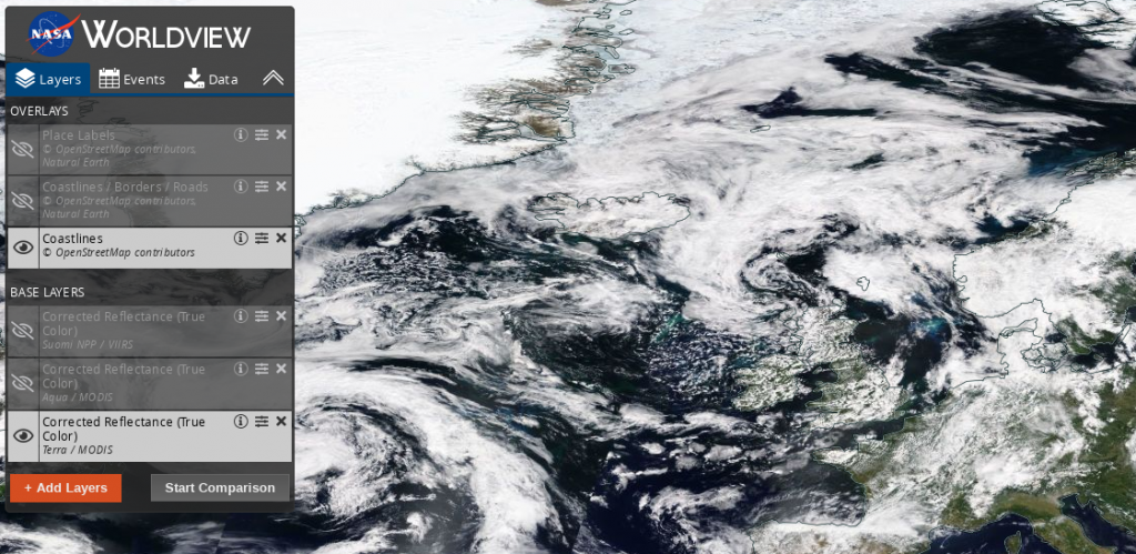
NASA Worldview – offers a range of imagery ranging from data is that is just a few hours old up to data that is several months old. It’s great for looking at what the wather was like at a particular time, but it doesn’t have the hi-res detail for examining objects on the ground.
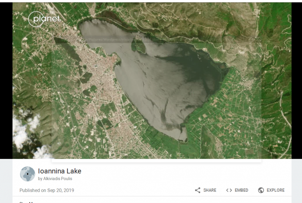
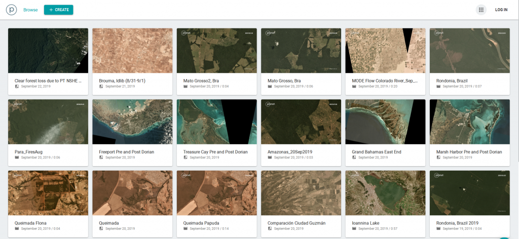
Planet Labs – has a huge collection of images that you can access and assemble to monitor changes in an area over time (requires registration):